Solutions
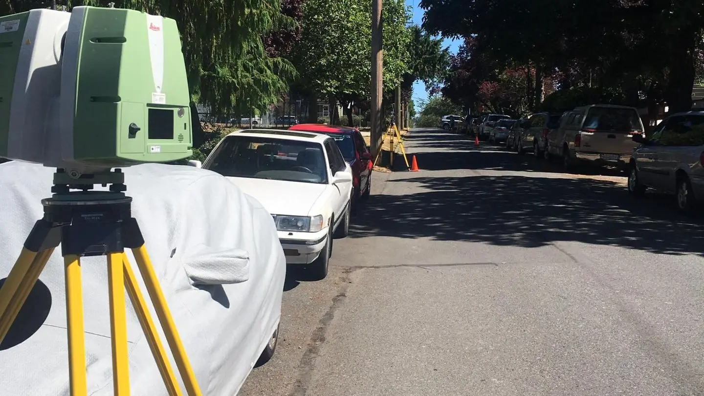
As-Built Surveys
Unparalleled precision and detail from 3D laser scanning and high accuracy surveying, providing comprehensive information crucial for precise planning, design, BIM, and construction processes.

Building Documentation
Meticulous as-built drawings, high-quality photographs, and advanced reality capture techniques deliver the comprehensive insights needed for efficient project management, regulatory compliance, and informed decision-making.
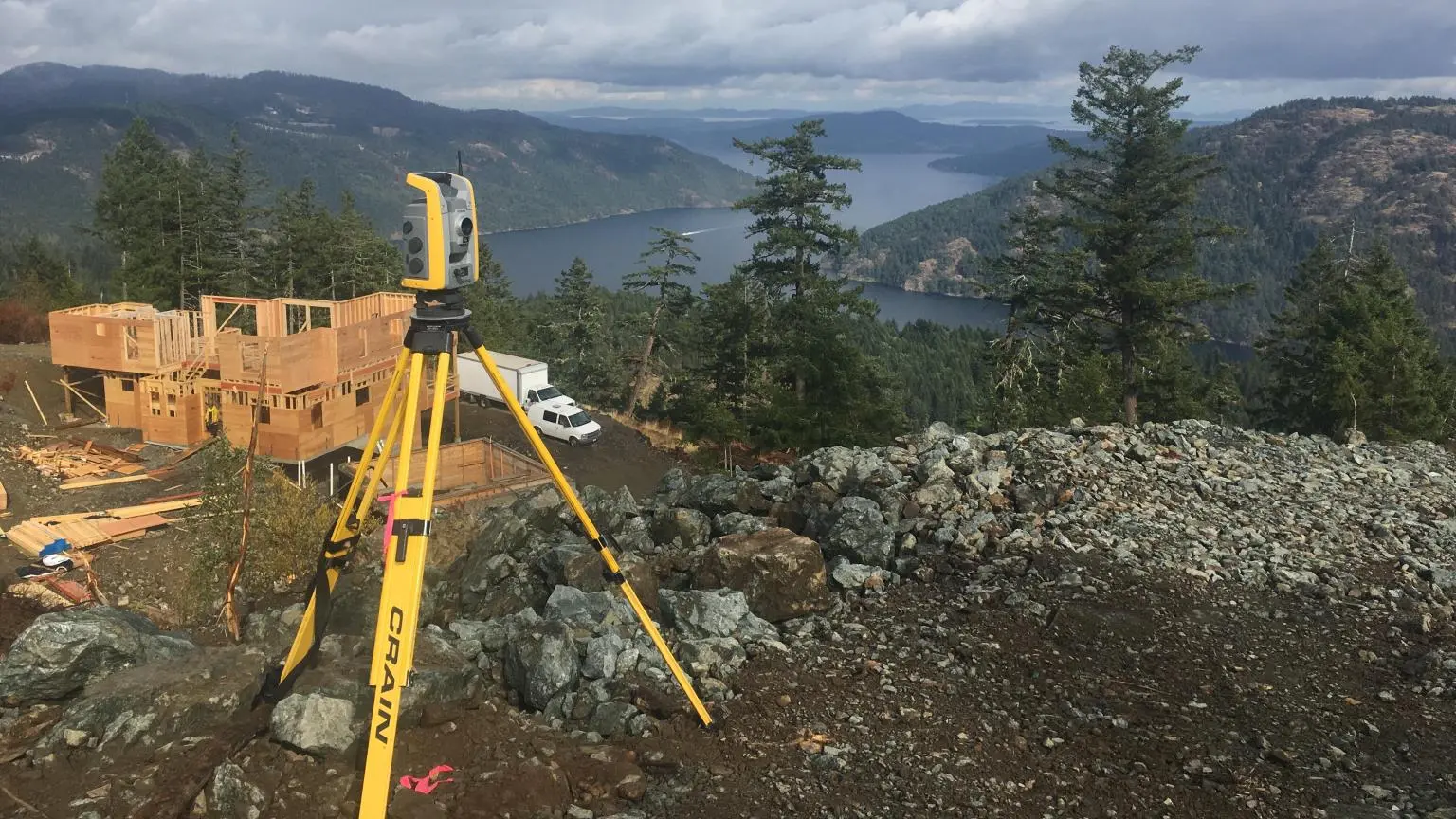
Control Surveys
From Global Navigation Satellite Systems (GNSS) to ground control and checkpoints for aerial mapping including lidar and imagery, mobile terrestrial lidar, static terrestrial lidar, gridlines, and benchmarks — SRS delivers comprehensive control surveying services to fortify projects and validate product accuracy.

Topographic Surveys
Harnessing cutting-edge geospatial technology, our precise and detailed terrain data provides the rock-solid foundation to facilitate enhanced planning, design, and construction.

Data Processing
Leveraging advanced geospatial software, Artificial Intelligence (AI), Machine Learning (ML), and automation, we deliver precise, reliable information, modelling, and deliverables fast, tailored to your project's needs.

Geospatial Consulting
Specializing in geomatics, terrestrial lidar, mobile and aerial mapping, photogrammetry, data processing and adjustments, SRS is your preferred source for innovative customized advice and services.

Remotely Piloted Aircraft Systems
SRS offers expert RPAS services, including flight reviews, program development, and sensor selection, ensuring your unmanned systems operate efficiently and in compliance with regulations.